
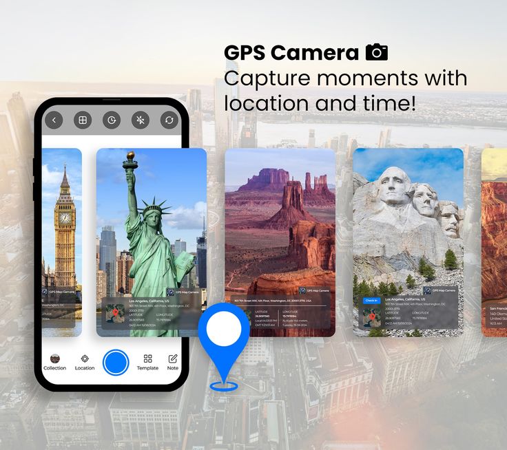
Capture Every Moment — With Real Location & Time
Add live GPS coordinates, date, time, and map overlays to your photos — perfect for fieldwork, construction, delivery, and documentation

Tamper-Proof Verification
Prevent users from manually altering GPS or timestamps for secure, reliable data
Learn MoreTeam & Enterprise Access
Manage and track multiple users in the field through one dashboard
Learn More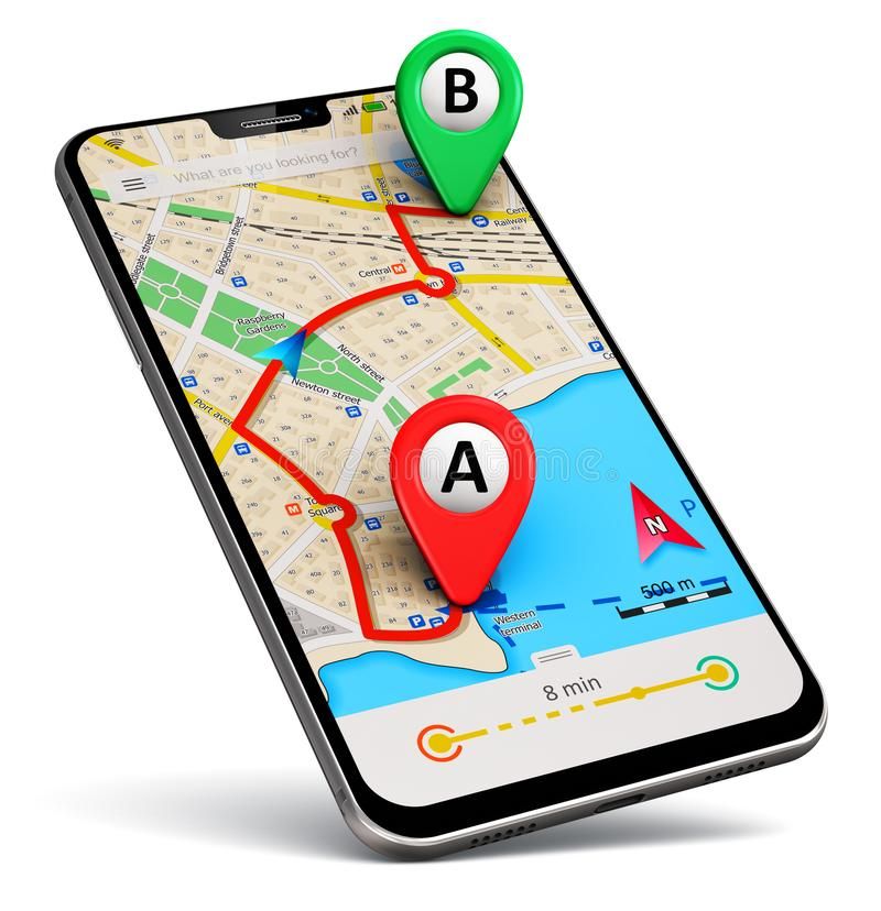
About Us
We’re a trusted technology brand that helps individuals and professionals capture real, verifiable location data — anytime, anywhere.
-
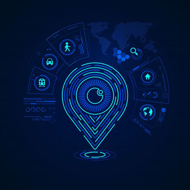
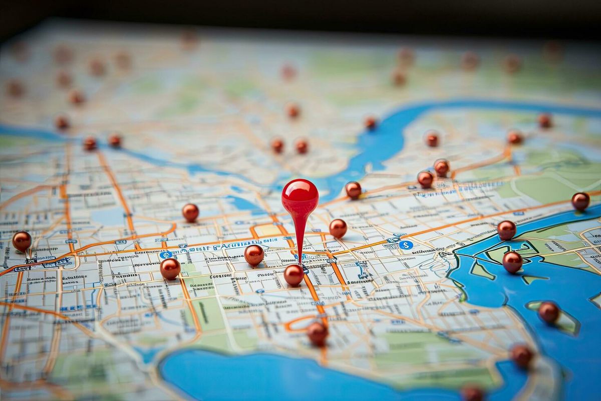
Accurate Location Intelligence
Real-time GPS tagging ensures every photo or video is captured with precise latitude and longitude
-
Authenticity & Trust You Can Prove
Tamper-proof timestamps and location data for genuine, verifiable records
-
Smart Tools for Professionals
Add custom project names, logos, and notes to your captures
Our ServiceS
Powerful location-based tools designed for accuracy, authenticity, and efficiency
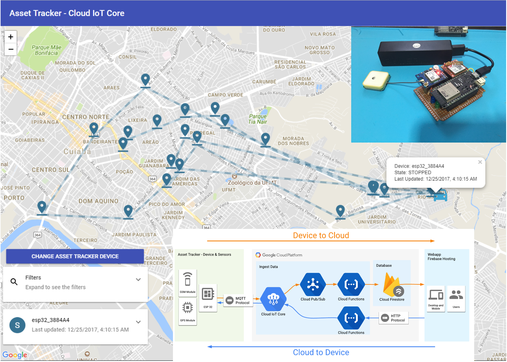
GPS Location Tagging
Automatically capture and stamp latitude, longitude, and altitude on every photo or video. Ensures pinpoint accuracy using live GPS coordinates
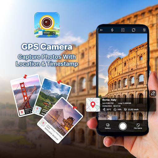
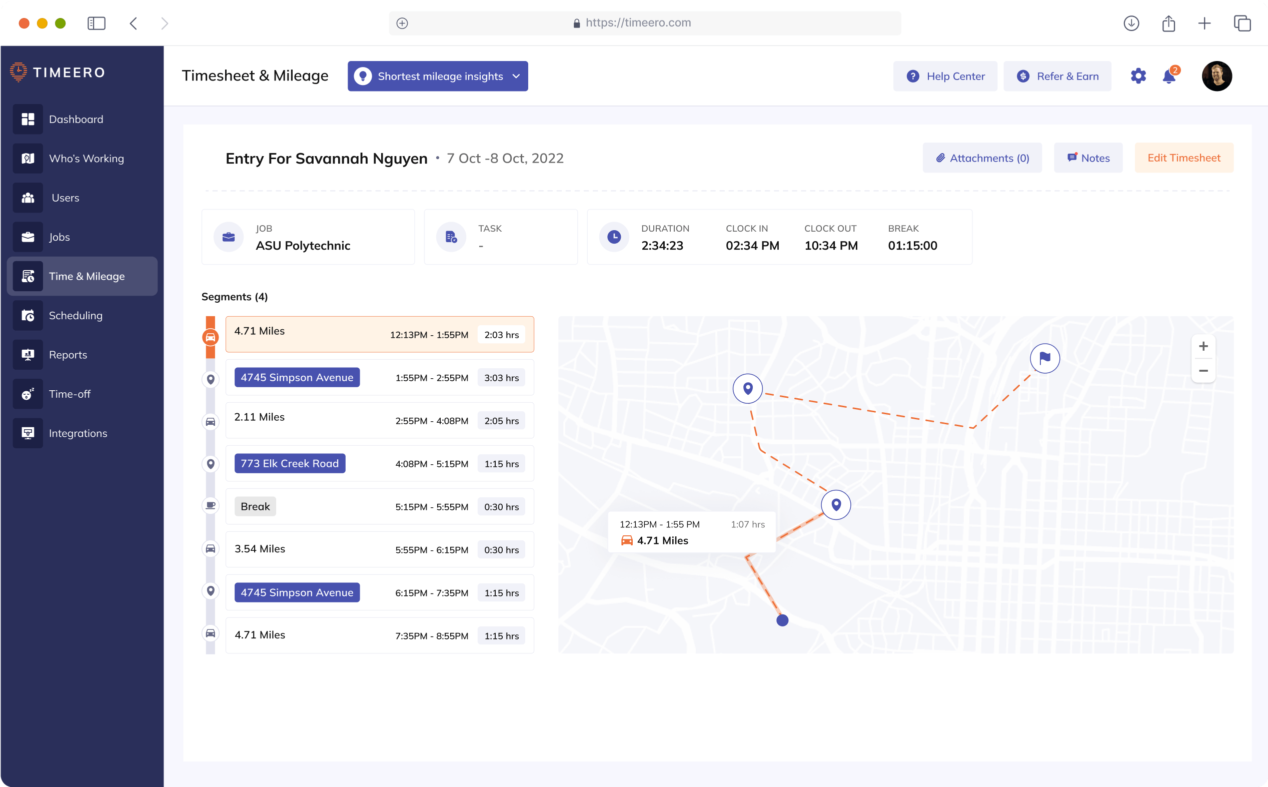
Date & Time Stamp
Every capture includes the exact date and time, synced with device or server clock. Helps maintain authentic, tamper-proof records for reports, audits, and fieldwork
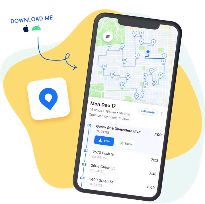
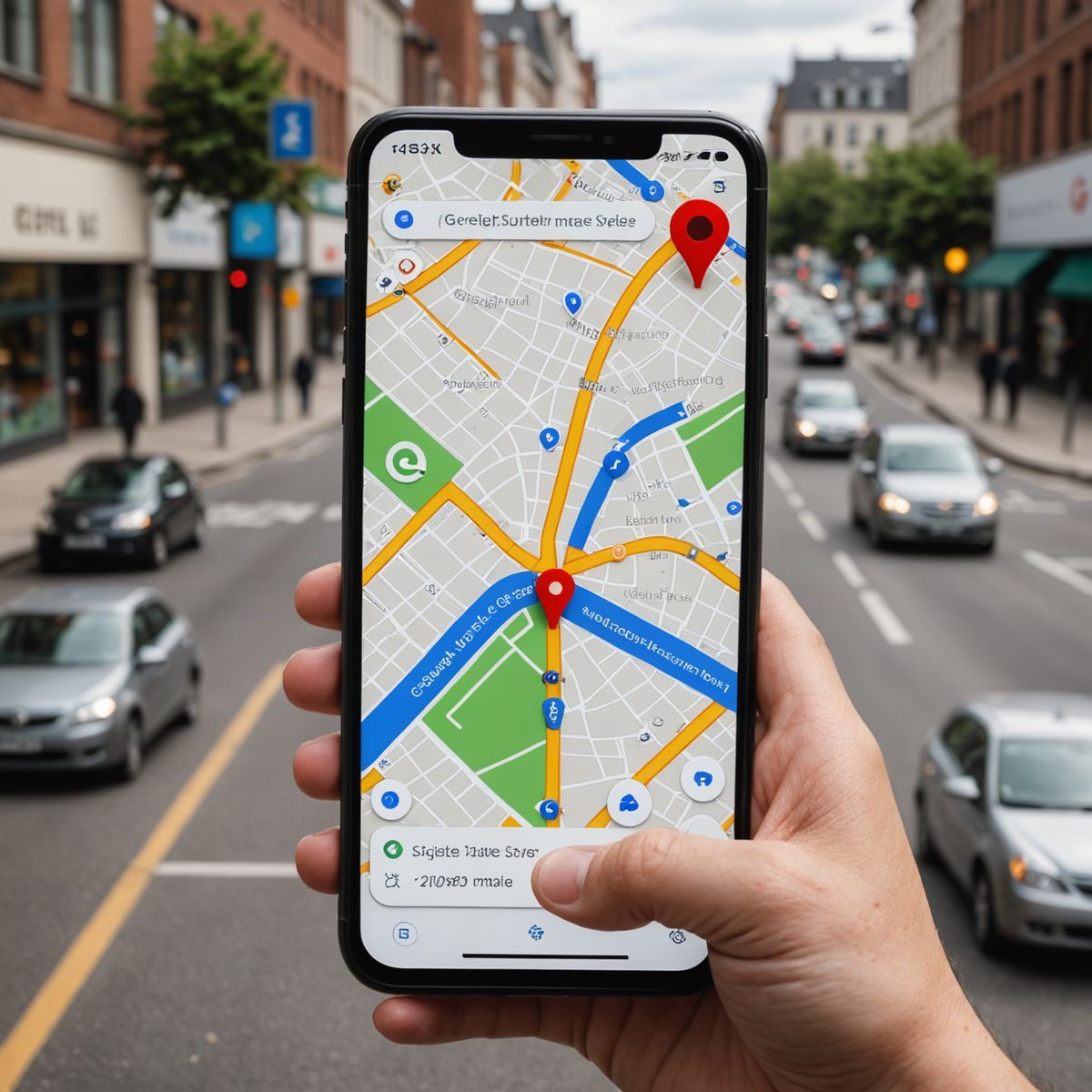
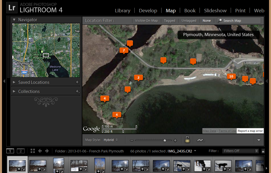
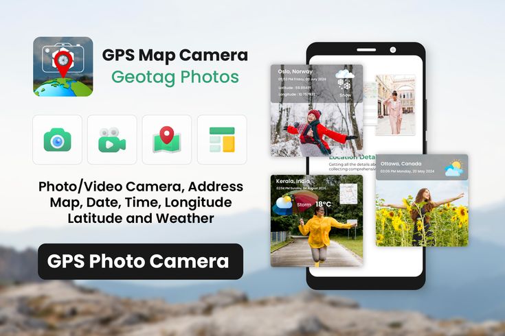
Map & Address Overlay
Add a map view or address label directly onto your photo. Great for visual location tracking, site surveys, and location-based evidence.
Custom Project Tags
Add personalized details like project name, logo, notes, or contact info to your images. Gives your documentation a professional and branded appearance
Offline Mode with Auto Sync
Capture data even in no-network zones — your location and timestamp are stored offline and sync automatically once you reconnect.
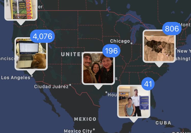
Cloud Backup & Team Management
Store all geotagged files securely in the cloud. Manage team access, monitor field activity, and share verified photos instantly
Call To Action
Get accurate location, map & timestamp on every photo — trusted by professionals worldwide
Call To ActionFeatures
Everything you need for accurate, verified, and professional GPS tagging
Real-Time GPS Tagging
- Automatically captures latitude, longitude, altitude, and address.
- Works with high accuracy using your device’s GPS and network location.
- Works seamlessly across multiple devices and environments.
- Adjustable precision mode for high or low GPS sensitivity
Date & Time Stamp
- Embeds exact date and time (in any time zone)
- Useful for proof-of-visit, fieldwork logs, or reporting tasks.
- Syncs automatically with your device clock or network time.
- Supports multiple time zone formats for international users.
Map View on Photos
- Adds a mini Google Map or address overlay directly on the photo..
- Choose from multiple map styles (Normal, Satellite, Hybrid, Terrain)
- Automatic reverse-geocoding to display location name and area.
- Add a live Google Map or location label directly on your captured photos.
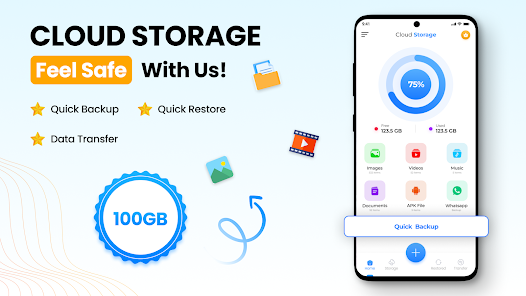
Cloud Storage & Backup
- Upload images instantly to a secure cloud platform
- Access your data anywhere and manage it easily from your dashboard..
- Organize files by date, location, or project for quick retrieval.
- Automatic backup prevents accidental data loss..
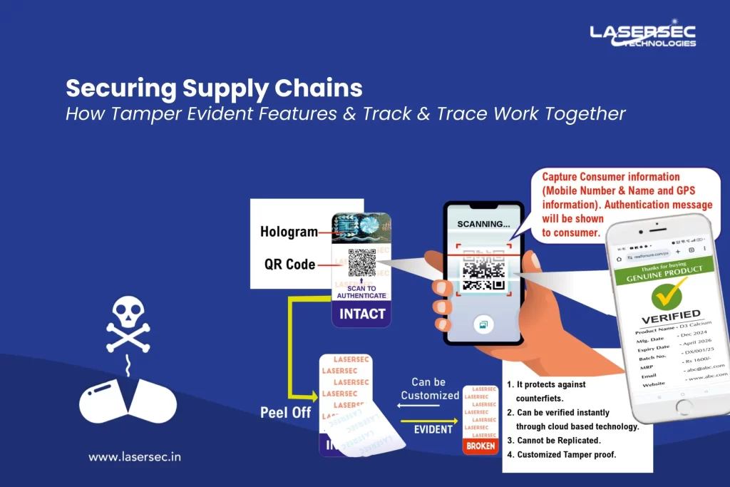
Tamper-Proof Verification
- Locked metadata ensures authenticity — prevents altering GPS/time data.
- Ideal for audits, compliance, and field inspections
- Ideal for inspections, audits, and field verification reports.
- Watermark verification code confirms original capture details..
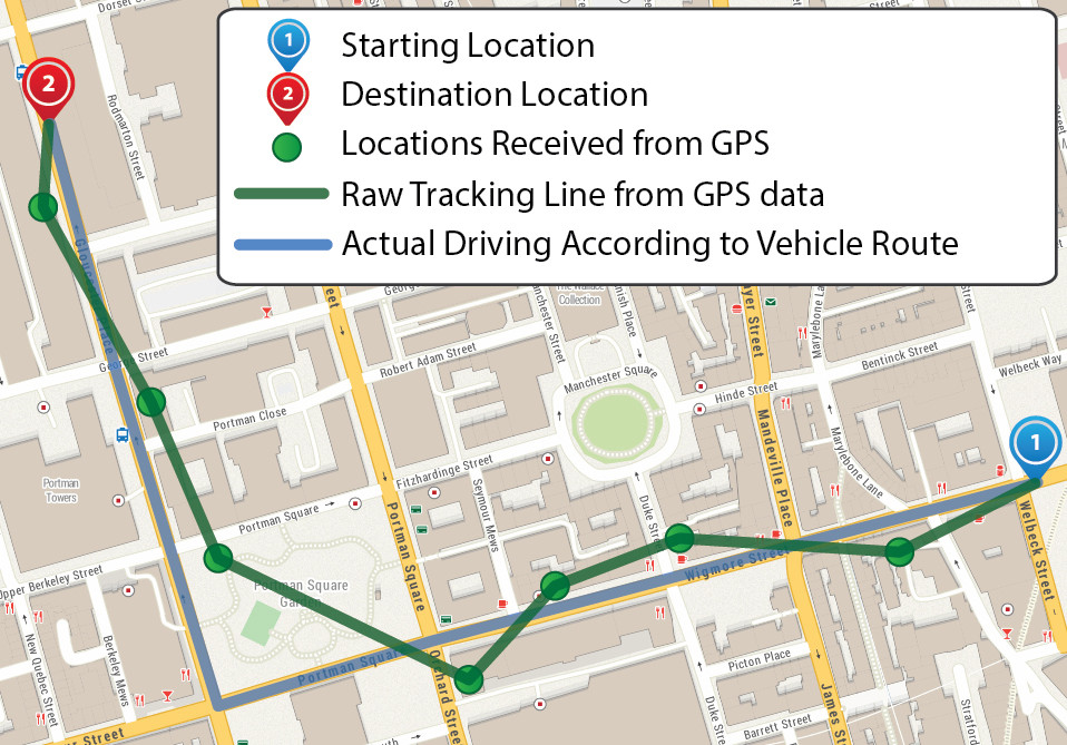
Route Tracking
- Export route data in formats like GPX, KML, or CSV
- Monitor total distance, time spent, and visited checkpoints.
- Track and visualize your travel path on a live map..
- Export data as reports or share routes with your team.
What Our Users Say
Real feedback from professionals who rely on GPS Geotag every day.
“The app automatically adds accurate location and timestamp on every photo — it saves us hours of manual work!”
Rahul Sharma
Field Engineer“Perfect for site inspection photos. The GPS tagging and date-time stamp features are 100% reliable.”
Anjali Verma
Project Manager“I use it daily for property documentation — the location accuracy and watermark clarity are excellent.”
Suresh Patil
Real Estate AgentFrequently Asked Questions
What is GPS Geotagging App?
It’s an app that allows you to capture photos with automatic location, date, and time details added to the image. Perfect for professionals who need verified proof of work, inspections, or field reports.
How does GPS tagging work?
The app reads your device’s GPS coordinates (latitude, longitude, altitude) in real-time and embeds them into the photo’s metadata and watermark overlay
Can I use the app without the internet?
Yes! The app works offline — it stores your GPS coordinates locally and syncs automatically when you reconnect to the internet.
How accurate is the GPS location?
The app provides highly accurate coordinates, typically within a few meters. You can improve accuracy by enabling “High Accuracy Mode” in your phone’s location settings
Is the app available for Android and iOS
Yes, the app is available on both platforms — simply download it from Google Play or the App Store
Packages
Free Plan
₹0/month
Regular Price: ₹999
- Up to 14 days usage duration
- View driving history up to 90 days
Business Plan
₹29/month
Regular Price: ₹49
- Extended tracking features
- Advanced route reports
Developer Plan
₹49/month
Regular Price: ₹79
- Access up to 1-year history
- Real-time analytics & support